Anyone can produce the number. The work is being trusted with it.
A progression from digitising records to owning the market model, the territory design, and the definitions everything downstream was measured against.
There was no analytics function to maintain. Building one was the job.
A methodology, shared definitions, and the confidence that a spatial figure is worth acting on: each had to be built, then earn the trust of people with no particular reason to extend it to a new number.
Most analysts can run the geoprocessing. Most commercial analysts can read a market. The uncommon part is doing both, then carrying the result to the people who have to act on it, and standing behind it when the answer is not the convenient one.
- 5Role phases, technician to data ownerWhere this comes from: role phases, technician to data owner
- 7Areas of work, problem to outcomeWhere this comes from: areas of work, problem to outcome
- 27Distinct methods applied across that workWhere this comes from: distinct methods applied across that work
- 5Methods authored and adopted as standardWhere this comes from: methods authored and adopted as standard
What I owned, and what it changed.
Market and Opportunity Modelling
Market intelligence
Sales Territory Design
Territory balancing
Inventory Reconciliation and Data Quality
Data reconciliation
Field Verification Web Application
Field data collection
Correcting a number is easy. Getting the correction accepted is the job.
The recurring pattern is auditing figures before they are relied on, and carrying the corrections through to adoption on their merits, with no positional authority to compel it. Acceptance depends almost entirely on whether the method can be walked through by the person who disagrees.
A figure that cannot be reproduced is not a finding.
Definitions before measurement. Reproducibility over cleverness. And when two sources disagree, the honest output is a figure plus the residual: what still does not reconcile, and how much it could move the answer.
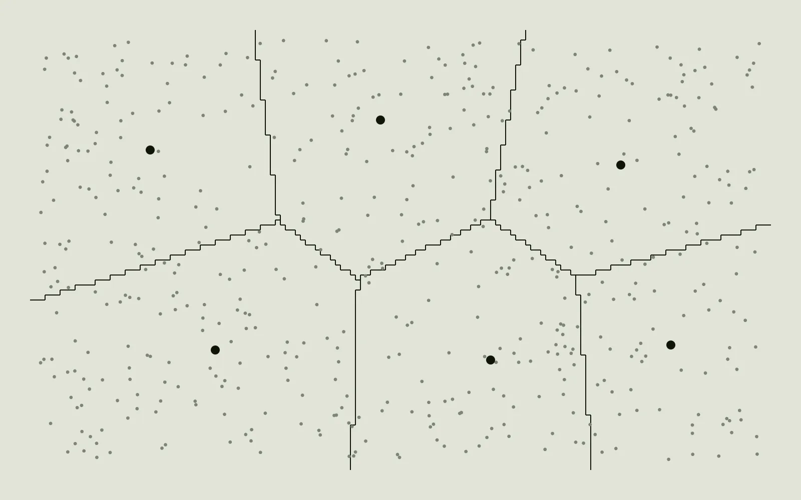
Matched 299One source only 677Residual 90
Schematic, carries no data. Counts are of the marks in this drawing.The cartographic grounding came from a GIS program before the professional work. That coursework is kept separately.
Want to go deeper on method?
Glad to talk through the techniques, the tooling and the reasoning in detail. Employer specifics stay with the employer; the reasoning is the part that travels.