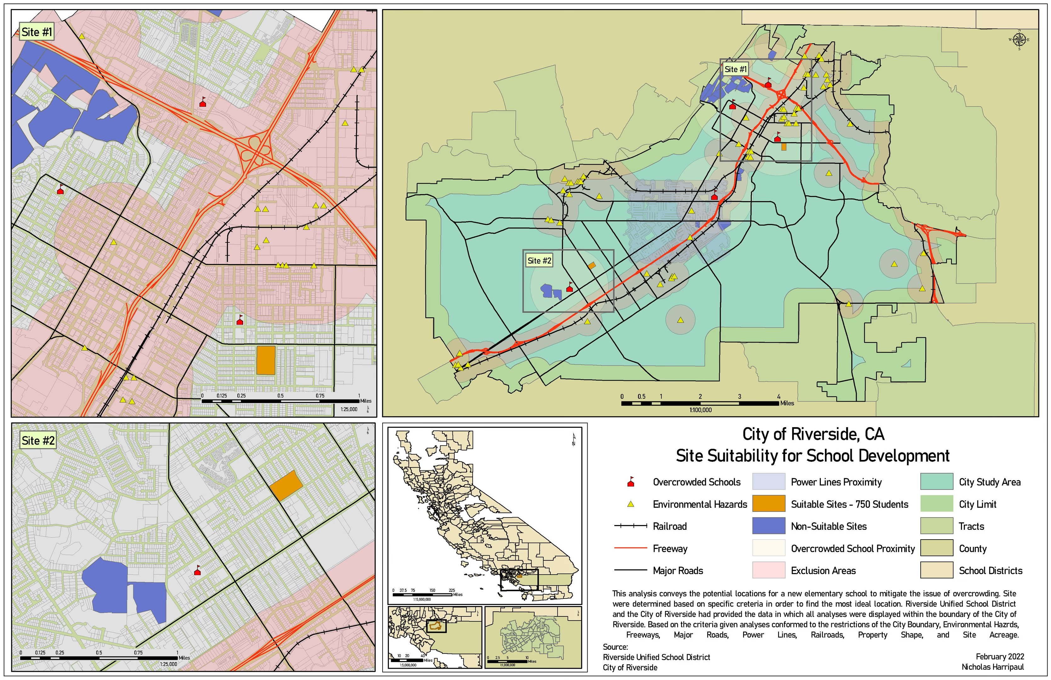
Elementary school siting, Riverside
Multi-criteria siting across census, zoning, road, hazard and natural-feature layers on one suitability scale
Academic coursework / 2021-2022
Notes on method
Multi-criteria siting is mostly an argument about units. Zoning is categorical, distance to a road is continuous, hazard exposure is a threshold, and none of them can be added together until they are reclassified onto one scale.
That reclassification is where the judgement lives, and it is the step most likely to be done silently. A site that scores well because distance-to-road was weighted heavily is not the same finding as a site that scores well because it avoids hazard zones, and the weights decide which of those a reader is looking at.
The weighting here came from a structured group decision rather than one analyst preference, which is slower and produces a result that survives someone asking why.