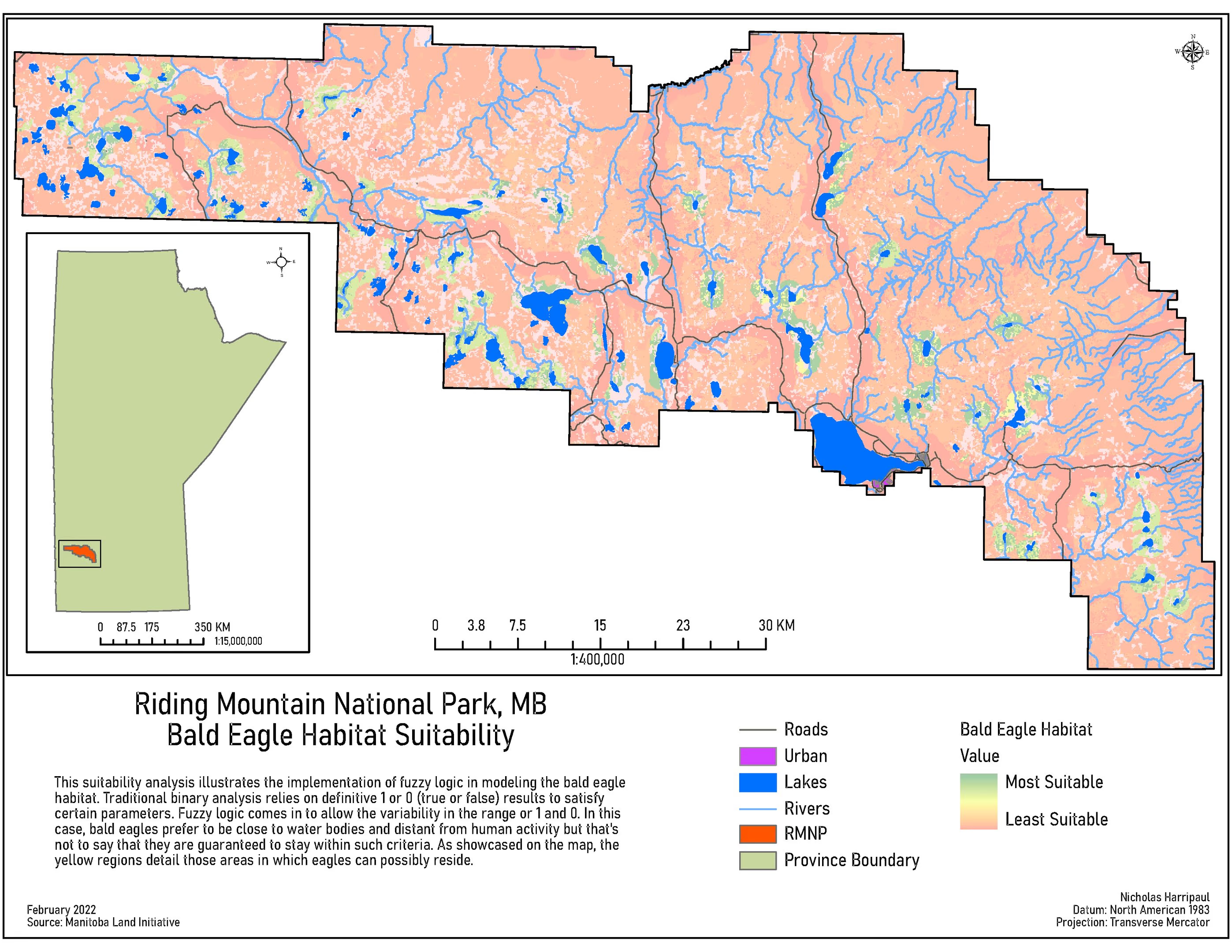
Bald eagle habitat suitability, Riding Mountain
A fuzzy-membership suitability surface, built because the binary version answered a question nobody asked
Academic coursework / February 2022
Notes on method
Binary suitability modelling answers a question with a hard edge: a cell either satisfies the criteria or it does not. For a nesting bird that is the wrong shape of answer. Bald eagles prefer to be near water and away from human activity, but preference is not a rule, and a map that draws a line at a fixed distance from a river is asserting something about eagles that no eagle agreed to.
So the criteria were expressed as fuzzy membership instead, each cell carrying a degree of belonging between zero and one rather than a verdict, and combined with fuzzy overlay. The output is a gradient, which is both less satisfying to look at and more honest about what is known.
The plate carries its own explanation in the margin, which is deliberate. A suitability surface without a stated method invites a reader to treat the colours as fact.
This is a separate study from the Sprague’s Pipit capstone, and the contrast between them is the point: the same park, two species, two modelling approaches chosen for different reasons.