City of Brandon maintenance districts mapbook

A 31-district municipal mapbook: consistent symbology and index across every page, so any crew can read any sheet

Academic coursework  /  December 2021

Discipline
Cartography and map series production
Tools
ArcGIS
Methods
map series production, multi-scale basemap design, building footprint digitizing, locator map and index construction
Data
City of Brandon; Assiniboine Community College

Notes on method

A mapbook is a different problem from a map. One map can be composed around its content; a series of 31 has to hold a single set of rules while the content under it changes completely.

The rules here: one highlight colour, applied only to the active district; parks and playgrounds as the only saturated fill, because they are what a maintenance crew is looking for; everything else dropped to grey so it reads as context rather than content. The locator grid sits in the same corner on every sheet at the same scale, which is what lets someone pick up any page and know where they are without consulting the index.

Building footprints were digitized where the supplied data had none. The index and locator maps were built as part of the series rather than added afterwards, since a mapbook without a working index is a stack of unrelated pages.
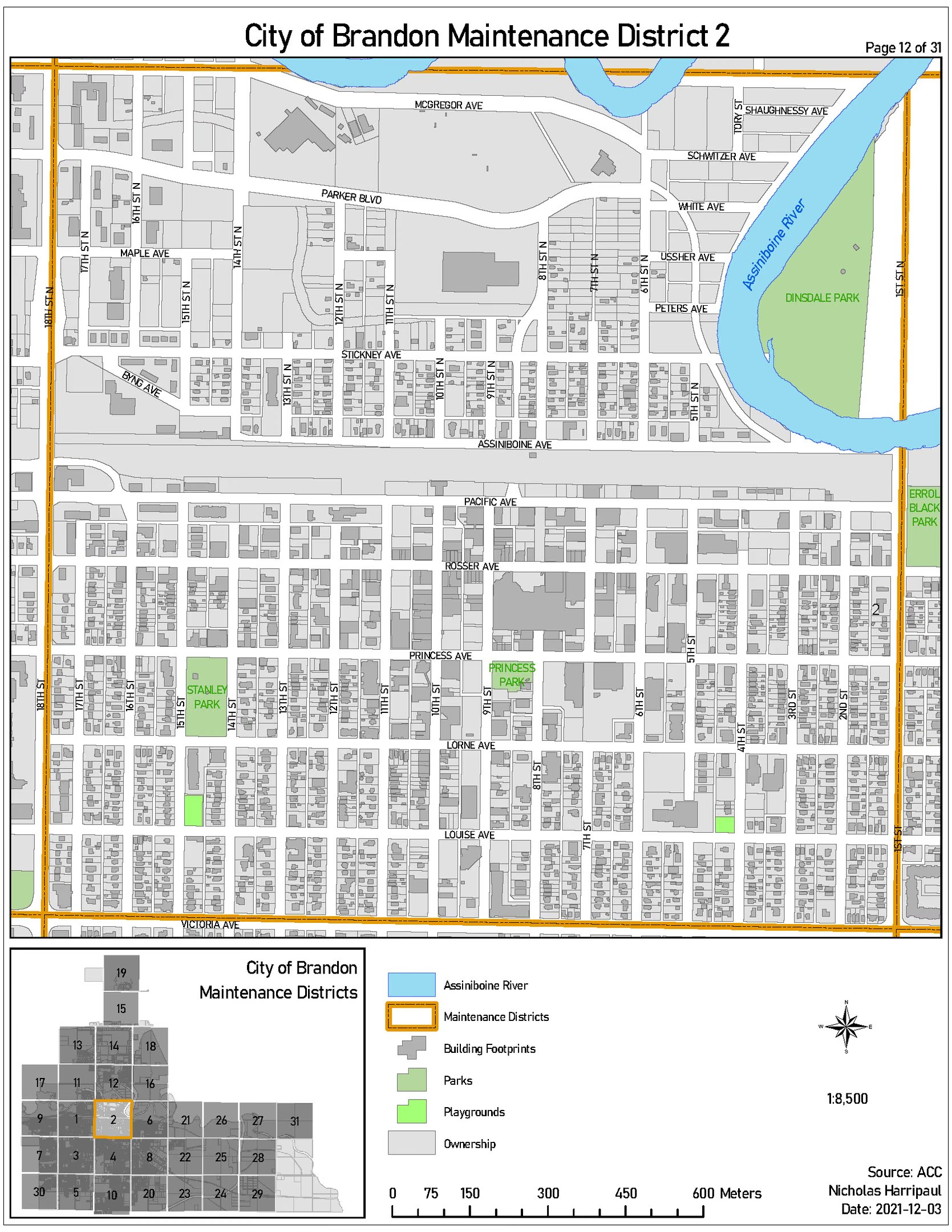
Mapbook sheet highlighting maintenance district 2 within a numbered grid of 31 districts, with parks and playgrounds picked out in green over a greyed ownership basemap.
Sheet for district 2. The locator grid repeats on every page, so a reader always knows which of the 31 districts they are looking at.Base data: City of BrandonOpen larger (1669px)
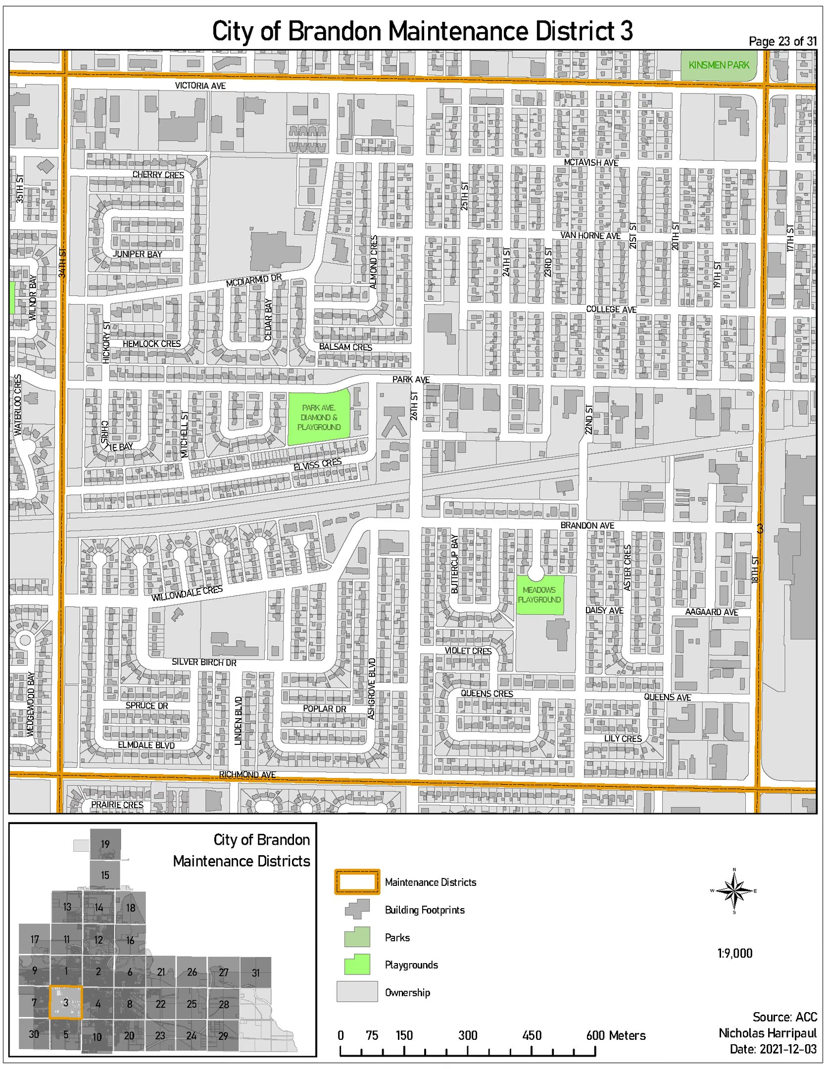
Mapbook sheet for district 3, same grid and symbology, with the active district outlined in orange.
District 3. Only the highlight moves between sheets; nothing else in the frame changes.Open larger (1669px)
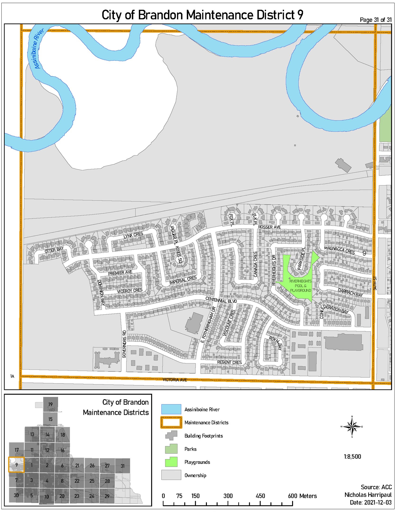
Mapbook sheet for district 9 on the western edge of the grid.
District 9.Open larger (1669px)
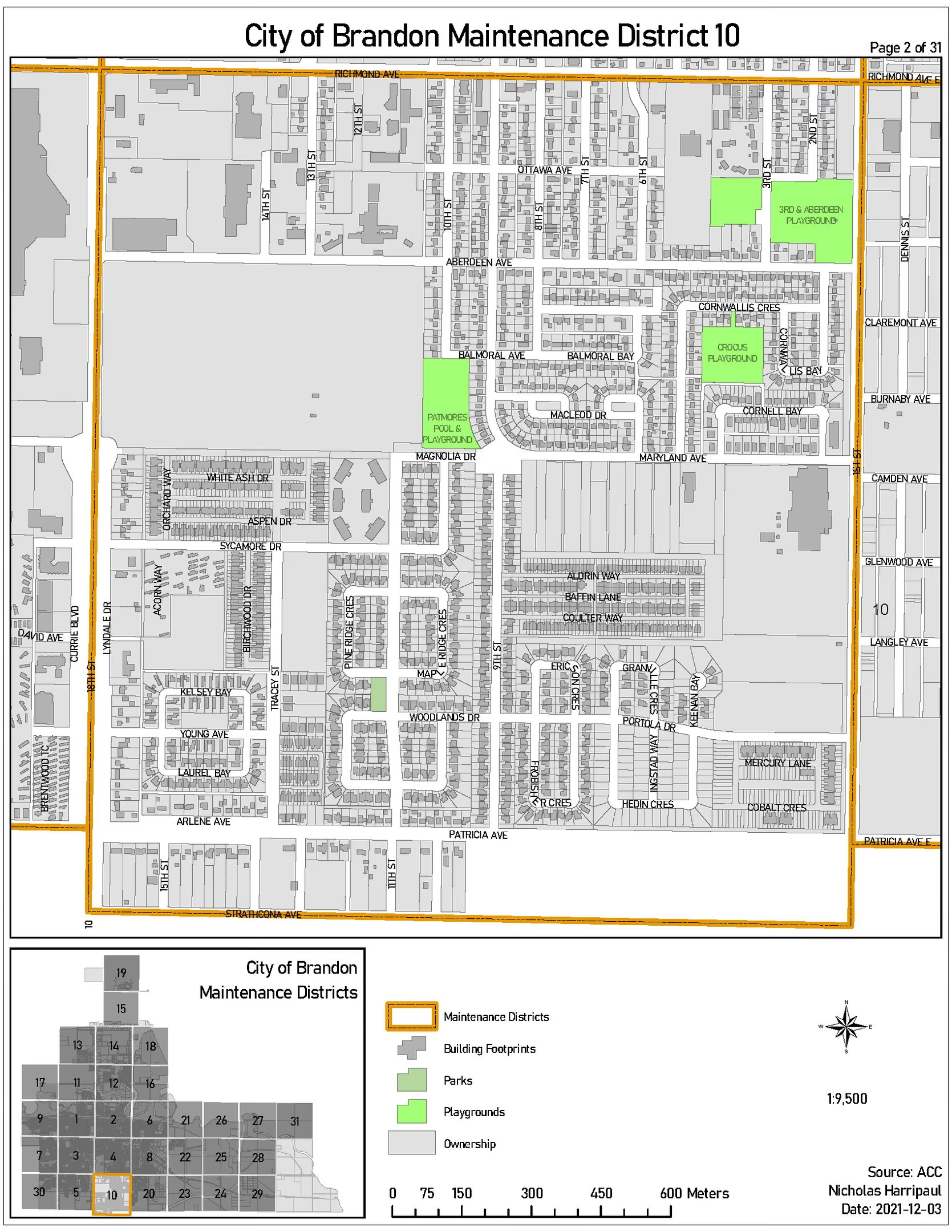
Mapbook sheet for district 10, showing parks and playground parcels within the district boundary.
District 10. Parks and playgrounds are the only saturated colour on the sheet, because they are what the sheet is for.Open larger (1669px)